Paraguay Land Verification
Before you buy that land,
Before you buy that land,
know what you're buying.
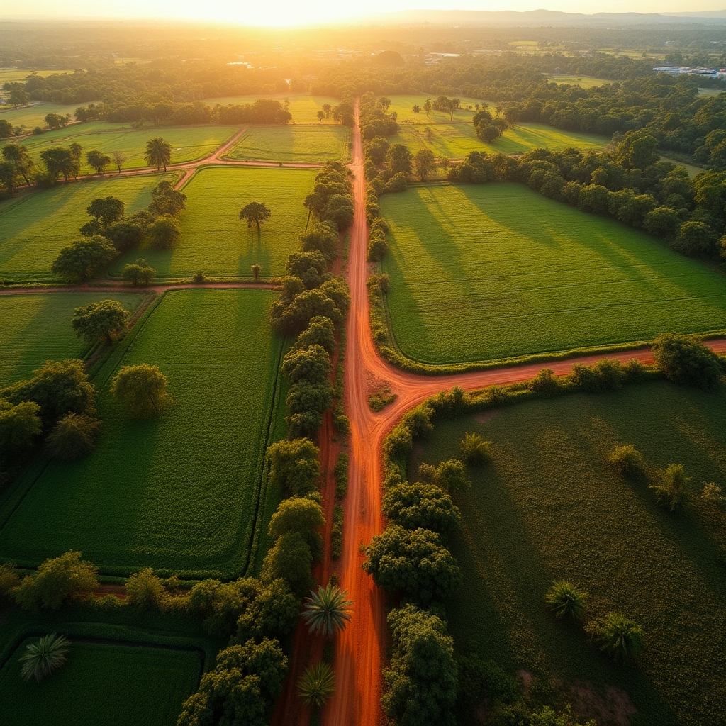
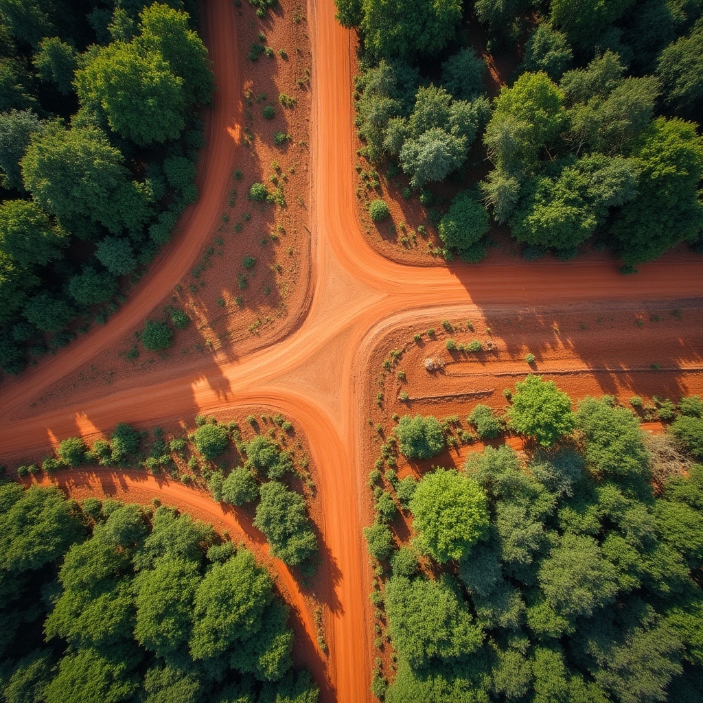
Thousands of plots in Paraguay look like opportunities — until you discover the title is disputed, the land floods every season, or the utilities don't reach the lot. We verify before you commit.
4 checks
Per verification
1 answer
Clear or not clear
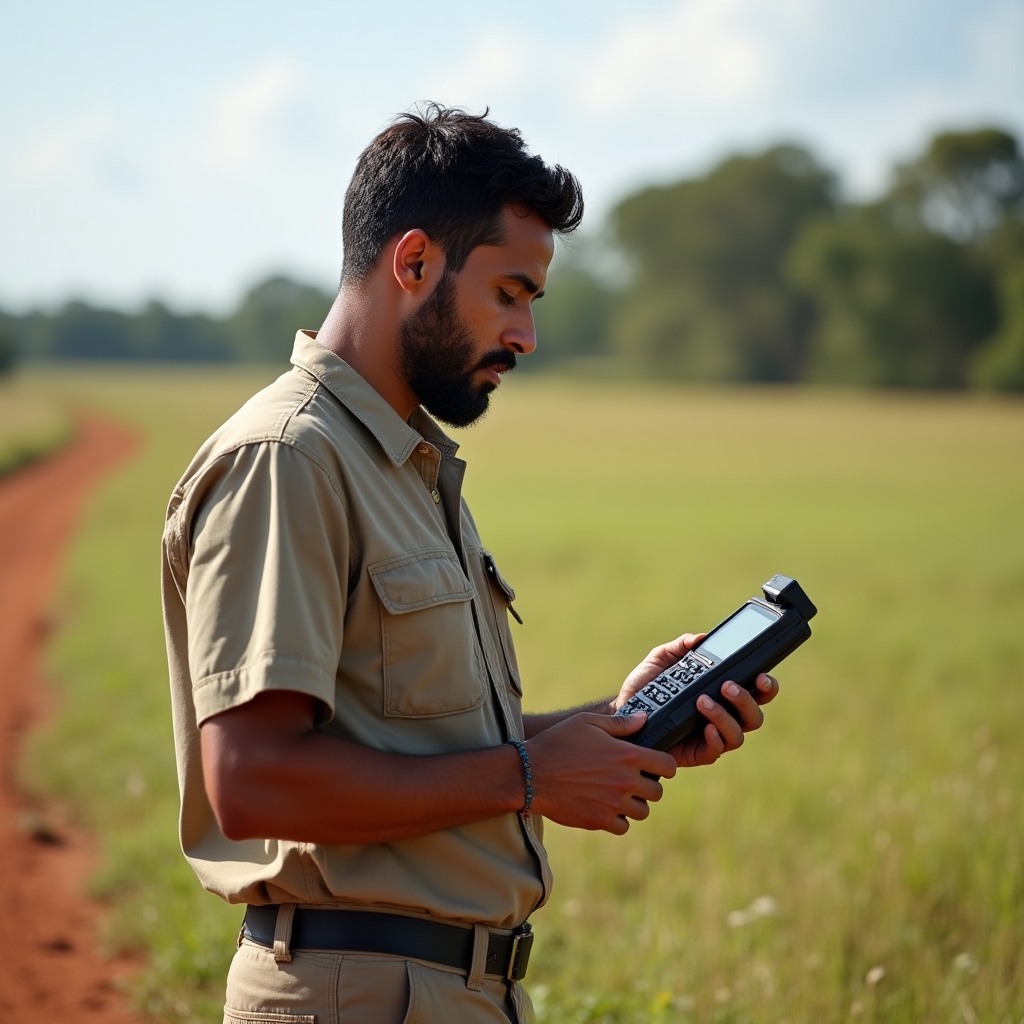
On-site
Physical visit included